Todd Mitchell
GEOG-499c
|
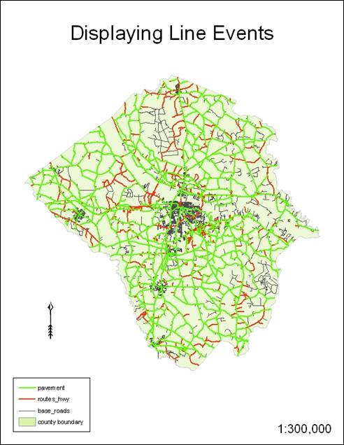
Lab 9: Linear Referencing |
Maps
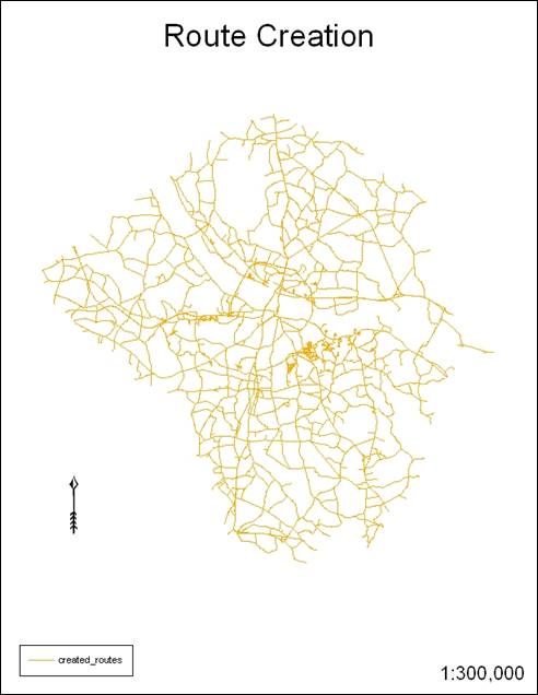
Hand-In 1
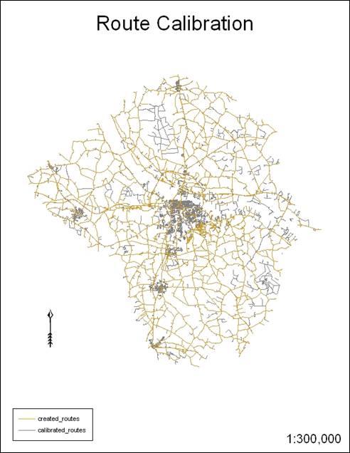
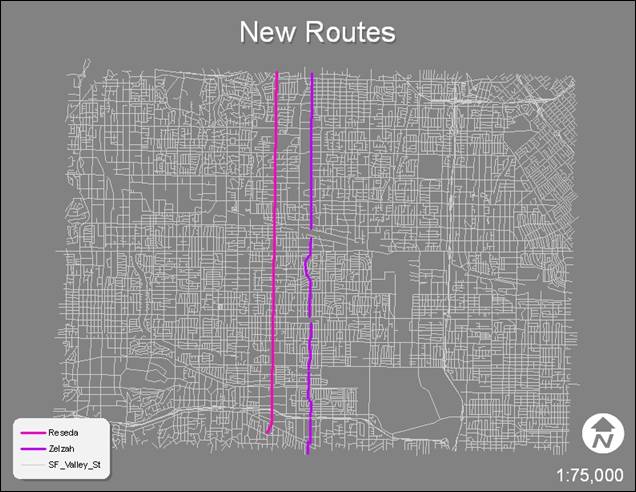
Hand-In 2
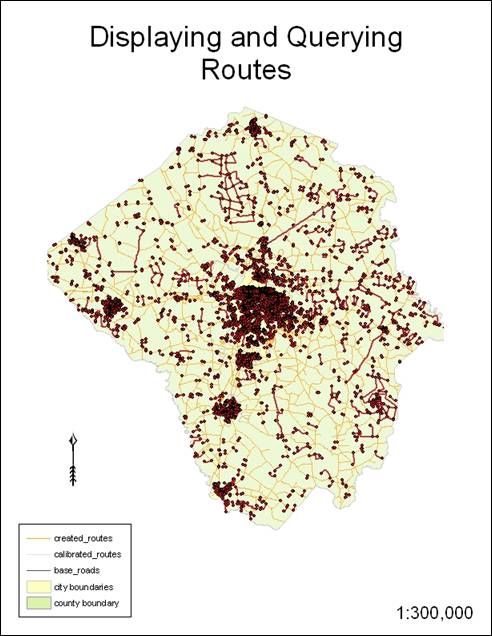
Hand-In 2a
(Display & Query)
Hand-In 3
Hand-In 4
Hand-In 5
Hand-In 6
Hand-In 7
Hand-In 8
Hand-In 9
1. What are the possible file formats that can be used as input
when creating route data? (Exercise 1)
The file types can be coverage,
shapefile, geodatabase, and computer aided design (CAD).
2. What is the difference between a route data before and after
calibration? (Exercise 1)
Before
calibration, the route data contains no values for distance or the distances
are not correct. After calibration, the route
data has corrected distances.
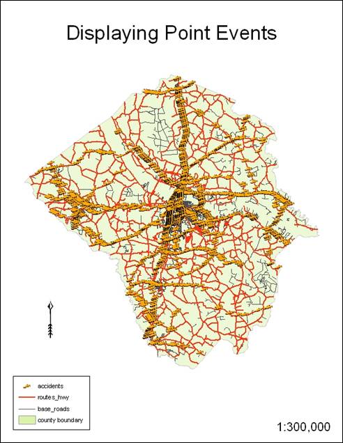
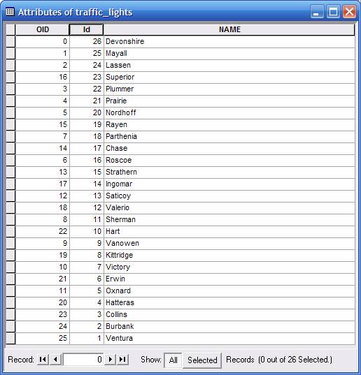
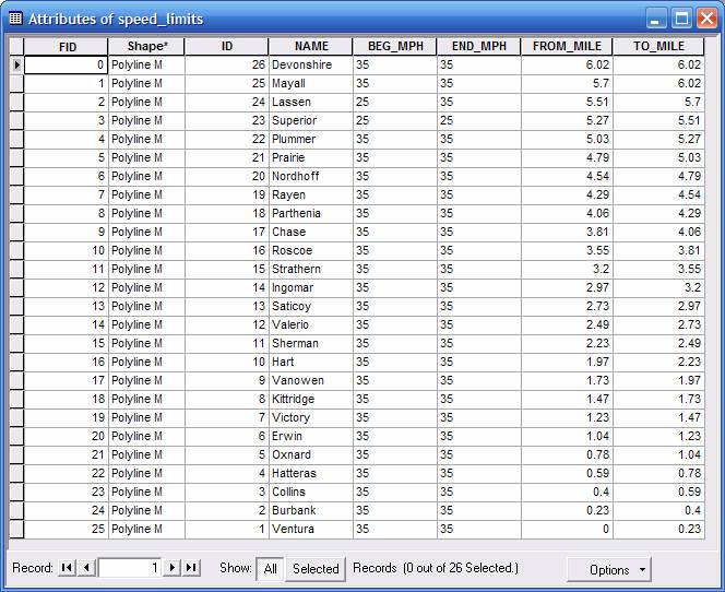
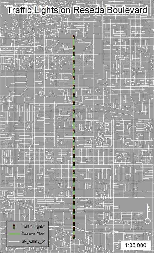
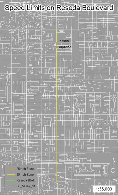
3. What is the difference between a point route event and a line
route event? What kinds of applications they can be used?
Point route events show points on the route like traffic lights
or stop signs ñ they contain a minimum of id and distance attributes. Line route events show polylines
on the route like zones of speed limit ñ they contain a minimum of id, from_distance and to_distance
attributes. Traffic accidents can be
tracked if time of accident is assigned to point data. Speeding infractions can be tracked similarly
with line and point data.