Todd Mitchell
GEOG-499c
|
Lab 5: Terrain and 3D Analysis |
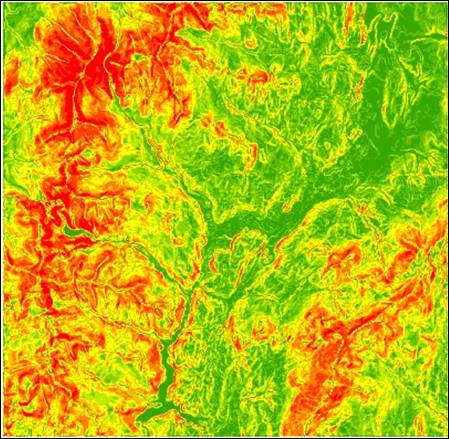
Hand-In 1 (extract slope):
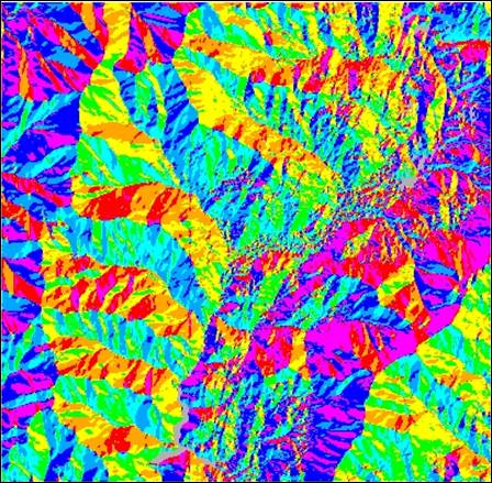
Hand-In 2 (extract aspect):
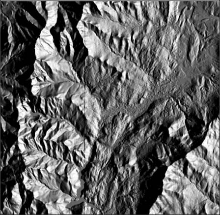
Hand-In 3 (hillshade
90 azimuth):
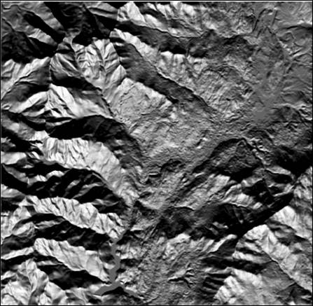
Hand-In 4 (hillshade
180 azimuth):
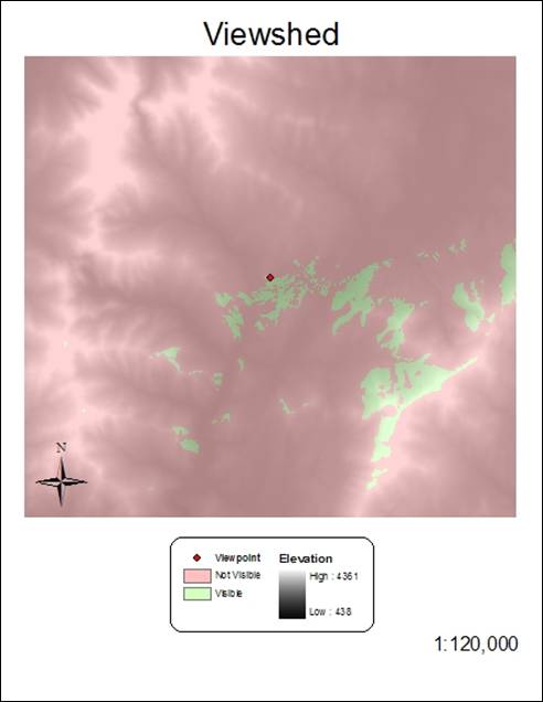
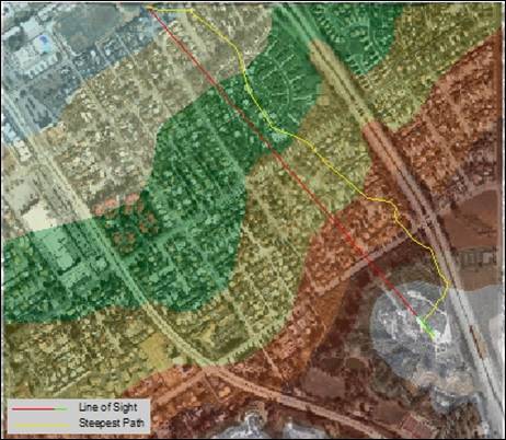
Hand-In 5 (viewshed
creation):
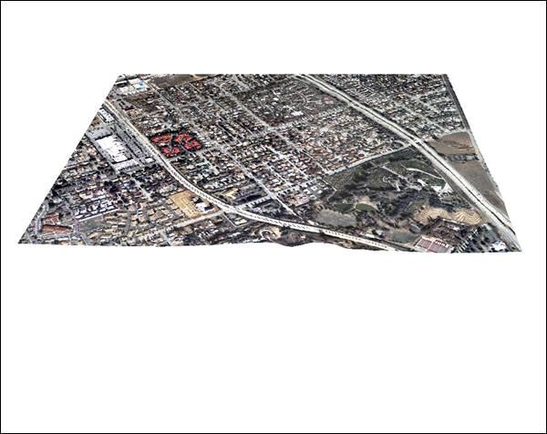
Hand-In 6 (3D view):
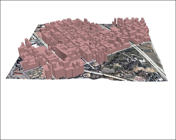
Hand-In 7 (3D view with extrude):
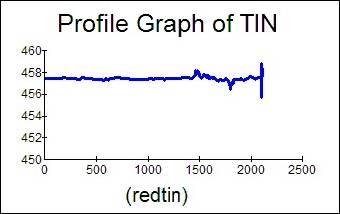
Hand-In 8 (tin graph):
Hand-In 9
Hand-In 10

Hand-In 11

Hand-In 12
Hand-In 13

Hand-In 14-15
Hand-In 16
Answer the following questions
1. Think about an application
where SLOPE, ASPECT, Viewshed can be used.
The planning of a scenic highway would require the use of
slope to determine construction costs in allowing the new highway to follow the
terrain efficiently. Aspect would help to
show areas with adequate amount of sunlight, and viewshed
would determine scenic viewpoints along the way.
2. Whatís the difference between
Base Height and Extrude?
Base height is the elevation from the surface of the DEM
being draped. An extrude extends the 2D features
above or below the base to give a 3D appearance, turning points into vertical
lines, lines into walls, and polygons into blocks. Extrusion helps to more easily convey depth
or height.
3. What do TIN, SDTS, DEM stand
for?
TIN stands for Triangular Irregular Network. The vertices of
non-overlapping triangles contain x, y and z vector data. TINs are used to store
and display surface models.
SDTS stands for Spatial Data Transfer Standard. This allows for exchanging databases without
data loss across different platforms. It
is also a federally adopted standard.
DEM stands for Digital Elevation Model. This is a raster representation of continuous
elevation values to show terrain relief.